
Bečići, Rafailovići, Boreti and Ivanovići: where to stay and how to reach Budva
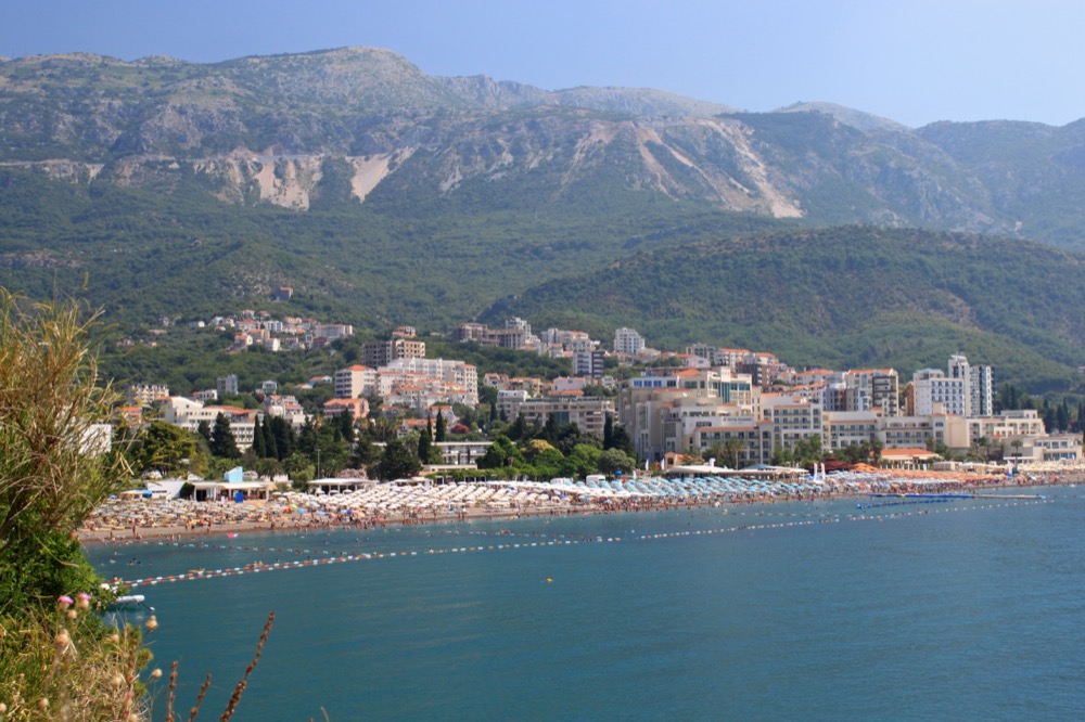
Explore Bečići and Rafailovići along the shore. When choosing a home, try the walk in reverse, from the water to your front door. Boreti is on the Budva side, while Ivanovići climbs above the coast. Which side of the highway you live on shapes both your walk back from the beach and the morning journey to school.
History in Photos: Boreti from the footbridge · The old olive tree in Ivanovići
Uphill from the sea
Half a century ago the geographer Dušan Martinović already counted Bečići among the municipality’s six established tourist centres. In his 1976 account he considered the coast together with the routes inland. That helps explain what lies side by side here: behind the waterfront hotels starts the old road to a village on the hillside.
On the map, find the shore between Zavala and Kamenovo. The beach runs along the water, with the Jadranska magistrala highway behind it. Zoom in on the street and trace its crossing of the highway. If renting, ask the owner to mark the entrance to the building.
Bečići: getting to the beach with a pushchair
For a week by the sea, check the way from the house to the beach. For year-round living, add the walk to the shops and bus stop. Try the entire return journey with a pushchair, towels and shopping. Steps that barely show in a listing photograph become obvious on the way home.
In our example of a year-round rental, a 46 m² apartment in Bečići with a garage space cost €650 a month. The move-in payment was two months’ rent plus a deposit. Rental listing and family budget.
Zeleni krš, the meeting place on Bečići beach
In the 1950s an invitation to meet on Bečići beach might have needed only two words: Zeleni krš, the green rock. Local historian Vlado Duletić remembered people using it to find each other along the long beach. Green seams stood out against the usual grey limestone, enough for swimmers and local youngsters to choose it as their meeting place.
In the historical record the same rock had a different meaning. Citing a publication by Marko Ivanović, Duletić describes a boundary recorded in 1482. The line between Maini and the Paštrovići descended through Tri Vrela to Zeleni krš by the sea and then turned towards St Thomas. Roads, slopes and the walk to the beach are convenient ways to compare these villages today. The old document located the boundary by springs, a rock and a church. For the background, see the Paštrovići agreement with Venice.
Vlado Duletić, Zapisi sa kamena crnogorskog, pp. 67–70. The account of post-war life comes from his recollections. The boundary follows the historical analysis he cites.How the Bečići waterfront changed
Four years, five hotels
In 1970 the Bellevue and its annexes opened with 644 beds, and Montenegro with 344. Montenegro A added 536 the following year. In 1972 Mediteran added another 442. Together with the original Splendid, the five properties offered 2,380 beds. These figures measure capacity rather than arrivals over a season.
Duletić compared this group with the hotels at Slovenska plaža in Budva, which had 1,654 beds. The Bečići site could accommodate more people at once than the neighbouring group of large hotels. The figures reveal Bečići as a centre of hotel construction in its own right, on a scale no single façade would suggest.
In neighbouring Pržno, the Maestral opened in 1970 with 294 beds. Duletić lists it in category A, while most properties built in the same wave belonged to category B. Different resort models were being tried along the same coast.
Vlado Duletić, Budva — Od mita do stvarnosti, Montenegrina digital library. Sections on cultural heritage and the history of tourism.
Rafailovići: from the waterfront table to the bus stop
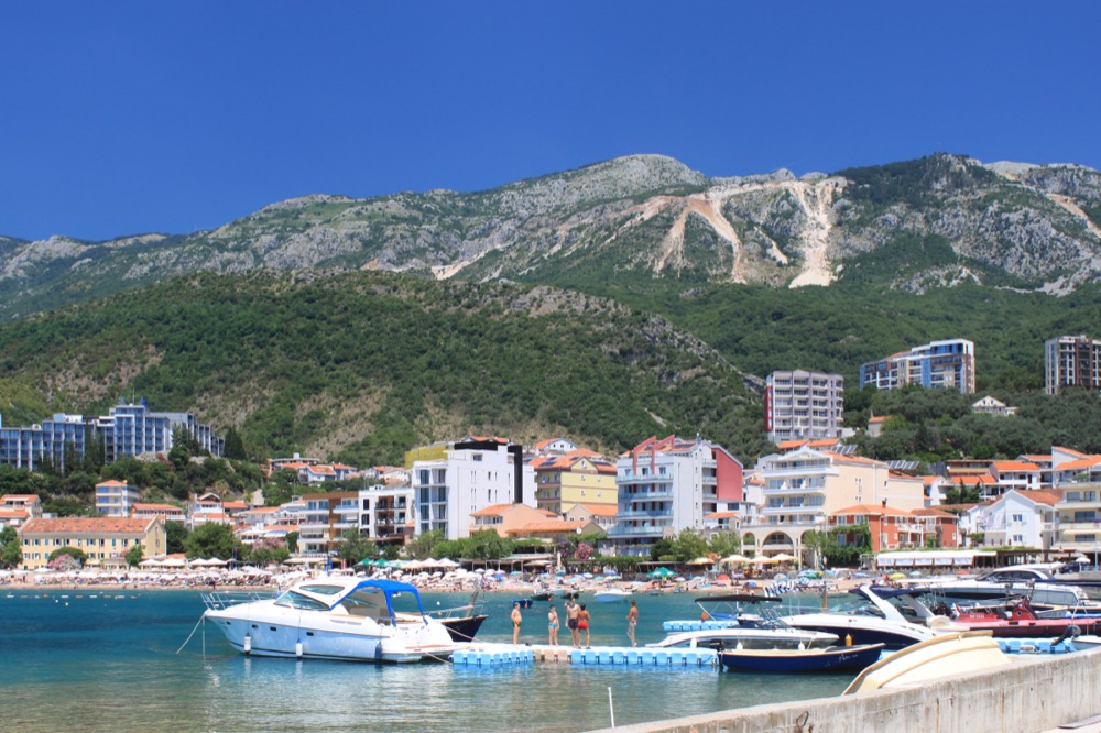
If you are choosing between a waterfront flat and one higher up, visit both on the same evening. By the water, open the bedroom window and listen for noise from the nearest terrace. At the other flat, walk down to the promenade and back at your usual pace. In winter, try the walk home from the shop where you would buy groceries.
For trips to Budva find a stop before the contract is signed. Check and return after lessons or work. Bus routes along the coast.
Boreti: the old village above Bečići
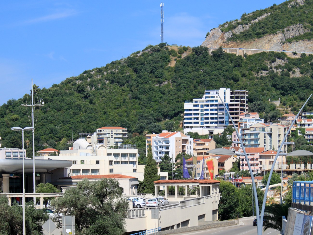
Three households in the 1521 register
The 1521 Ottoman tax register lists Mahine together with its smaller settlements, or mahalas. The names include Borete, Mažići and Košljun. On the reverse of folio 22 the scribe entered three households for Borete. The 1523 register, on the reverse of folio 31, gives four for the same settlement. They are taxable households. The entries do not say how many children or adults lived under each roof.
The Crnojević vineyard has its own location in the record. The next page of the 1523 register names two plots at Lušaništa and Dubovica, with income entered as 150 akçe. Below them are two mills assessed at 15 akçe each. The editors tentatively read the river at one as Belasica; for the other the watercourse Bečić is explicitly named (Bećić). These properties do not appear in the entry for the four households at Borete. The register cannot fix the buildings to a plot on a modern map.
B. Georgev and L. Hajjosmanovich. Dva deftera Crne Gore iz vremena Skender-bega Crnojevića, volume II, Sarajevo, 1973, pp. 45, 113–114.
The history of the country continues in the chapter on Podmaine.
From the stop on the highway, Boreti might sound like the name of a beachfront neighbourhood. The old village stood uphill from the beach. An account of the families of Maini records the Boreti, also called Borete, in the village of that name. The surname appears in local recollections too. The village history in Vijesti was told by Krsto Boreta.
Radoslav Rotković associated the forms Boreta and the Borenthe in an entry dated 1321 with Boreti near Budva. In Krsto’s family account, the old village he knew took shape in the early 17th century. The first record concerns the name, the second the memory of a settlement. The material does not establish whether the family name or the place name came first.
A 2016 account describes a stone threshing floor beside the houses and the walls of an old olive mill. Families made their living from olives and fishing. The author recalls another source of income: guests from the Bečići hotels walked up to visit the stone houses of the old village.
The churches provide another clue. In his list of churches in Maini, Vlado Duletić places the church of Sv. Gospođe. Neighbouring villages appear alongside their own churches in the same list. The entries place Boreti within Maini, long before the hotels gave the coast its familiar addresses. V. Duletić, Zapisi iz budvanskog kraja, p. 149.
Boreti stop: towards Budva
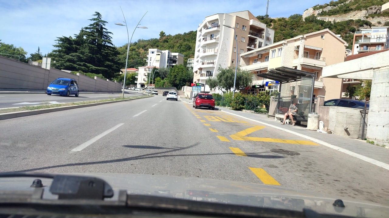
Boreti is a stop on the coastal bus route. Give the driver that name if the address on your booking simply says Bečići. For a daily commute, save two pins: where you board in the morning and where you get off in the evening. Find the crossing that takes you from the stop to your home.
If your child will travel to school, try the journey on a weekday in time for the first lesson. Include the walk from the stop in Budva to the school gates. Schools in Budva with addresses.
Ivanovići: a village, a family name and an old olive tree
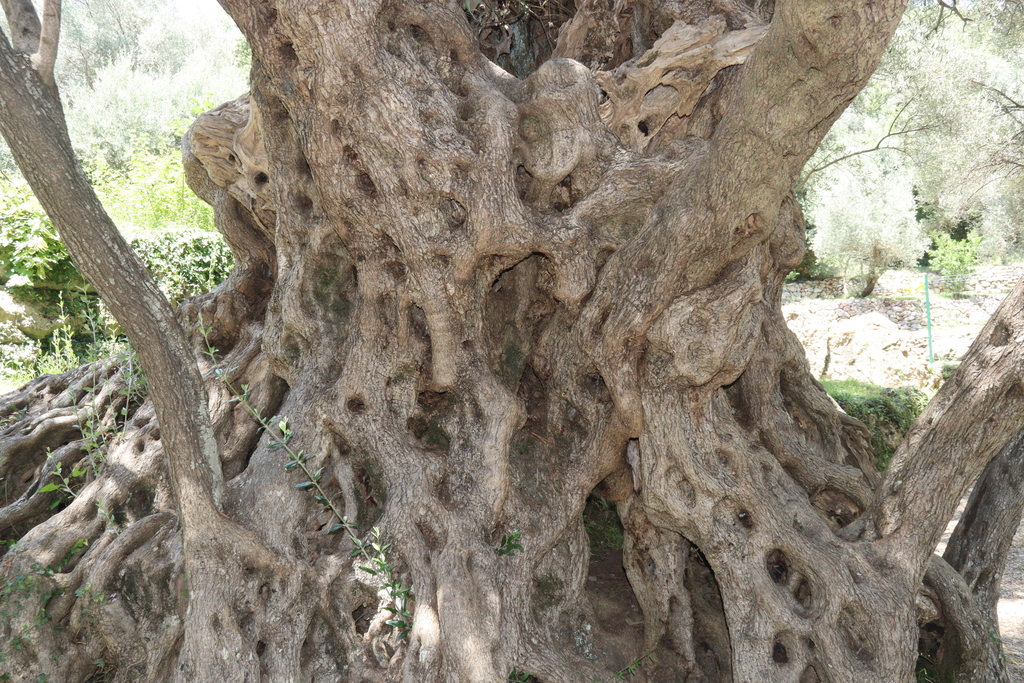
Forms Ivanovići means “Ivanovici”, that is, the family of Ivanovici. Ivanović preserves the personal name Ivan. In an account of Maini families the Ivanović family is recorded in the village of that name, and Mitrovdan is given as its family feast. This supports a connection between the place name and the family. We have no document identifying a particular Ivan after whom the village was named.
In Vlado Duletić’s account the surname belongs to a man whose work is known. Mirko-Slobodan Ivanović tended the grove and restored the olive mill where oxen turned a stone millwheel. Duletić described 108 old trees in the grove at Toljen Do. Two olive trees and the Ivanović family mill.
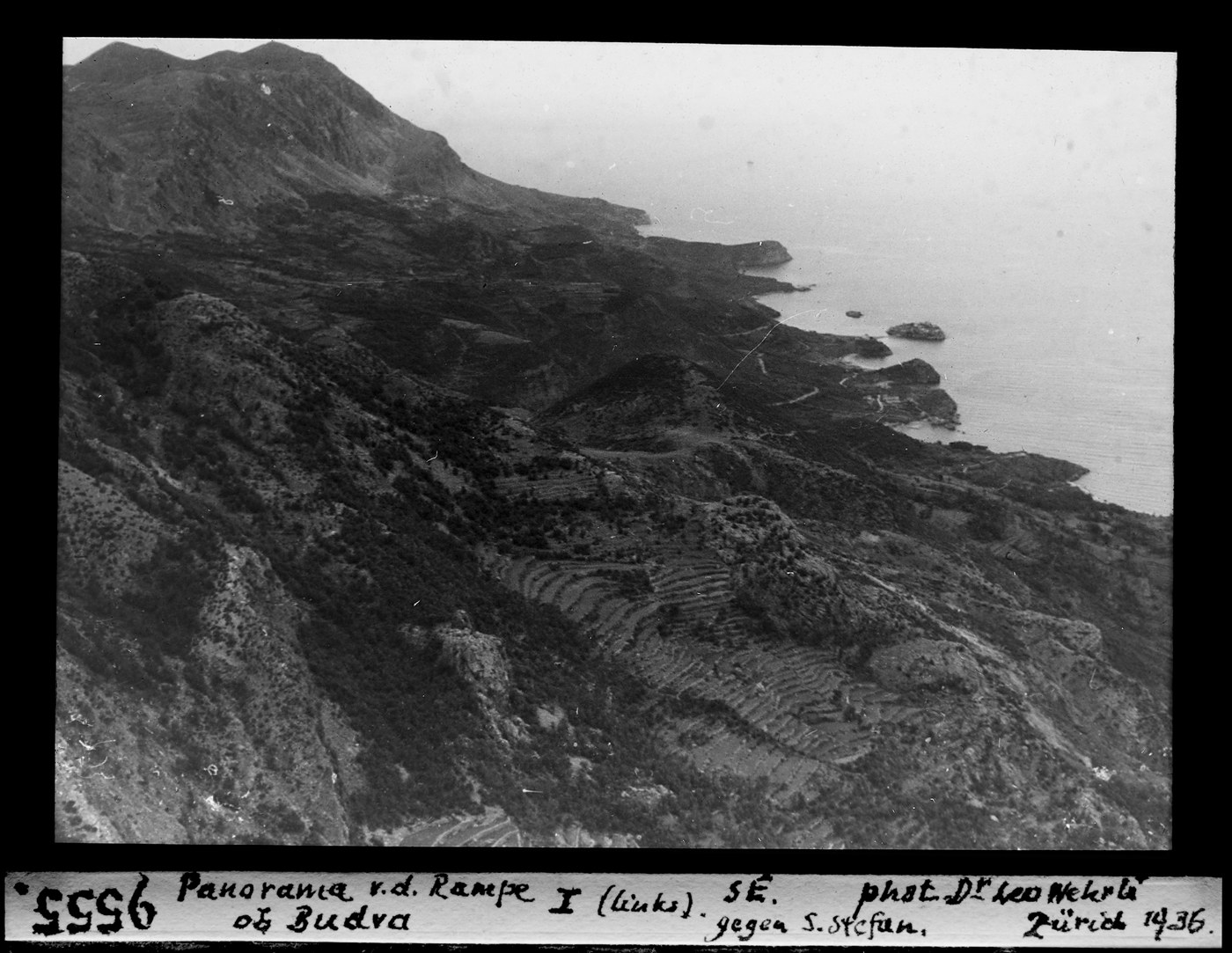
Duletić’s book offers two views of the Ivanović family’s work. Page 240 shows Mirko Ivanović’s grove at Toljen Do; page 241 shows the old olive mill. The pair explains the link between the two places: the fruit was gathered beneath the trees and taken to the stone millwheel. How to tell Velja maslina from the other old olive tree.
Finding the road to Velja maslina
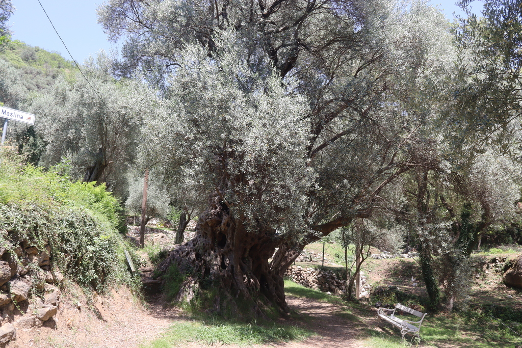
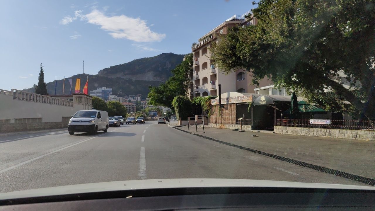
Look for the Splendid hotel in Bečići to find the turn off the highway. Budva’s tourist organisation describes a roughly two-kilometre road from there through Ivanovići to Velja maslina. The short trip takes you from the beach to the old hillside village.
The two old olive trees of Ivanovići and the family olive mill
in the book Zapisi iz budvanskog kraja (2017, p. 239), Vlado Duletić describes a second old olive tree at Toljen Do in Ivanovići. The tree photographed beside a bench is the Velja maslina. Its coordinates are 42.29469° N, 18.87419° E.
If you are looking at a home here, walk back from the highway to the building itself. The two kilometres to the olive tree tell you little about the distance to a particular address. With a pushchair, check the steps and the width of the verge. For winter evenings, see whether the bends are lit after sunset.
Life on the riviera in winter and summer · Beaches of the Budva Riviera · Petrovac guide